
Walk a Tucson Street Directory
A useful Tucson street search does not begin with a list of names. It begins with one normalized address and builds outward. The title roll identifies a parcel and owner, the map shows the next parcel, and the deed index explains how title moved. Permits add facts about the site. A reverse directory may then supply an occupant from a specific publication year. Each source answers a different question.
- Enter the complete site address in the Pima County Assessor Parcel Search. Copy the parcel ID, situs address, title name, mailing address, and legal description.
- Open PimaMaps, search without punctuation, and zoom until parcel outlines appear. Click parcels one at a time along the chosen block.
- Use each popup’s More Information links to compare the Assessor card, subdivision plat, permits, imagery, and recorded-document references.
- Follow the sequence number or owner name into the Recorder index. Match each instrument by its legal description, not by name alone.
- For older occupant clues, ask the library for a criss-cross lookup or consult the relevant printed directory year.
This street-by-street order prevents a common error: treating the title owner as proof of every person at the address. It also preserves the parcel key needed when a street spelling, number, or jurisdiction label changes.
Tucson Assessor Street Search
The Pima County Assessor lists, classifies, and values more than 434,000 real parcels. Its main box accepts a parcel number, address, or owner name. Advanced routes reach a map and plat, recorded document, subdivision, or Public Land Survey System location. For a Tucson street directory search, the property address is the correct first key because it points to the physical site.
| Assessor field | Input | Best street use | Format note |
|---|---|---|---|
| Parcel, Address, or Name | Autocomplete text | Quick known-address search | Accepts three kinds of keys |
| Parcel Code | Text | Return to an exact parcel | Hyphenated or compact code |
| Property Address | Structured text | Match the situs address | Not the tax-mail destination |
| Map and Plat | Text or selection | Group lots in a subdivision | Recorded map route |
| Recorded Document Number | Text | Connect deed and parcel | Uses an instrument identifier |
| Subdivision Name | Text | Browse a named development | Useful when street text varies |
A parcel card may also show values, acreage, building traits, tax area, images, and links to recorded documents. The mailing address is a clue about where tax correspondence goes. It is not the same field as the site address, and neither field establishes the full household.
Map Tucson Streets Parcel by Parcel
PimaMaps supplies the visual part of a Tucson street directory. Search by owner, address, intersection, or parcel, preferably without punctuation. Select the result in the left panel, zoom until parcel polygons draw, and use Identify on each adjoining lot. The popup can lead to the Assessor, subdivision plat, permits, imagery, and zoning detail.
The county’s parcel and address search instructions show how the related county searches fit together.
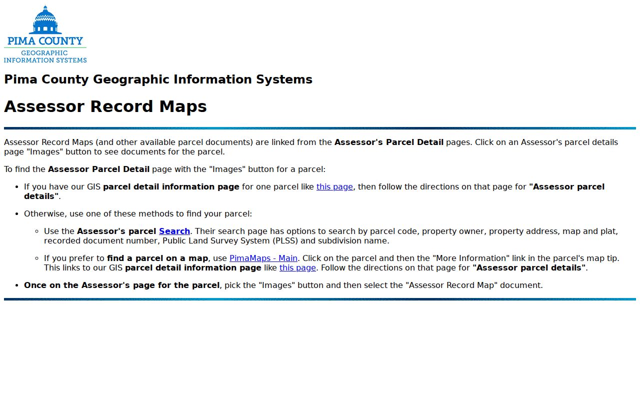
The instruction screen reinforces why parcel codes, recorded documents, plats, and addresses should be treated as linked keys rather than separate search projects.
Layers can add zoning, floodplains, permits, fire districts, wastewater, topography, and aerial photography. Measure and Identify can snap to mapped features. Query results can be saved and exported to XLSX, while maps can export as an image, GeoTIFF, or PDF. Those shapes are for research and are not a boundary survey.
Decode Tucson Street Record Terms
Three address fields must stay separate throughout a by-address search. Tucson’s directional grid also makes the north, south, east, or west prefix important. A missing direction or altered suffix can send the search to a different site.
- Parcel
- A tax-mapping unit with its own county identifier. A split or combination can create a new parcel ID.
- Situs address
- The physical location of the land or building, rather than the address used for tax mail.
- Legal description
- The durable title description, often a lot, block, subdivision, or metes-and-bounds description.
- Plat
- A recorded map that lays out lots, streets, and related subdivision details.
- Criss-cross directory
- A directory arranged by address or telephone number, allowing an address to lead to the published occupant.
Preserve all three address forms plus old parcel numbers. That small habit makes later deed, map, and directory comparisons far more reliable.
Note: Parcel lines in a viewer are research aids; only the proper recorded material and professional boundary work settle a disputed line.
Tucson Records Organized by Address
No single Tucson street record covers title, geography, construction, and occupants. The useful chain comes from the way one source hands a parcel, party name, legal description, or address to the next.
| Address source | Local keeper | Street evidence | Access limit |
|---|---|---|---|
| Tax parcel | Pima County Assessor | Title name, mailing and situs addresses, legal description | Free web search |
| Parcel map | Pima County GIS | Adjoining parcels, plats, districts, permits, and layers | Illustrative geometry |
| Recorded deed | Pima County Recorder | Grantor, grantee, recording date, and title description | Modern index online; older office research |
| Permit and code file | Tucson PRO and PDSD | Activity type, status, dates, narrative, and documents | City jurisdiction; some files requested |
| Reverse directory | PCPL and licensed databases | Published occupant at an address in one year | Publication and retention gaps |
| Voter information | Arizona and Pima Recorder | A voter’s own registration and district details | Not an open street browser |
The parcel ID is the strongest modern bridge. Historic work relies more heavily on the legal description, plat, cross streets, and building footprint because the address string itself may not remain stable.
Follow Tucson Street Deeds
The Pima County Recorder’s Public Search is indexed in full from June 1982 forward. Start with the owner shown by the Assessor, find that party as grantee on the acquisition deed, and confirm the lot or legal description. The seller is the grantor. Searching that seller as an earlier grantee begins the next link in the chain.
A sample parcel-linked recorded document demonstrates the handoff from a parcel and sequence number to Recorder research.
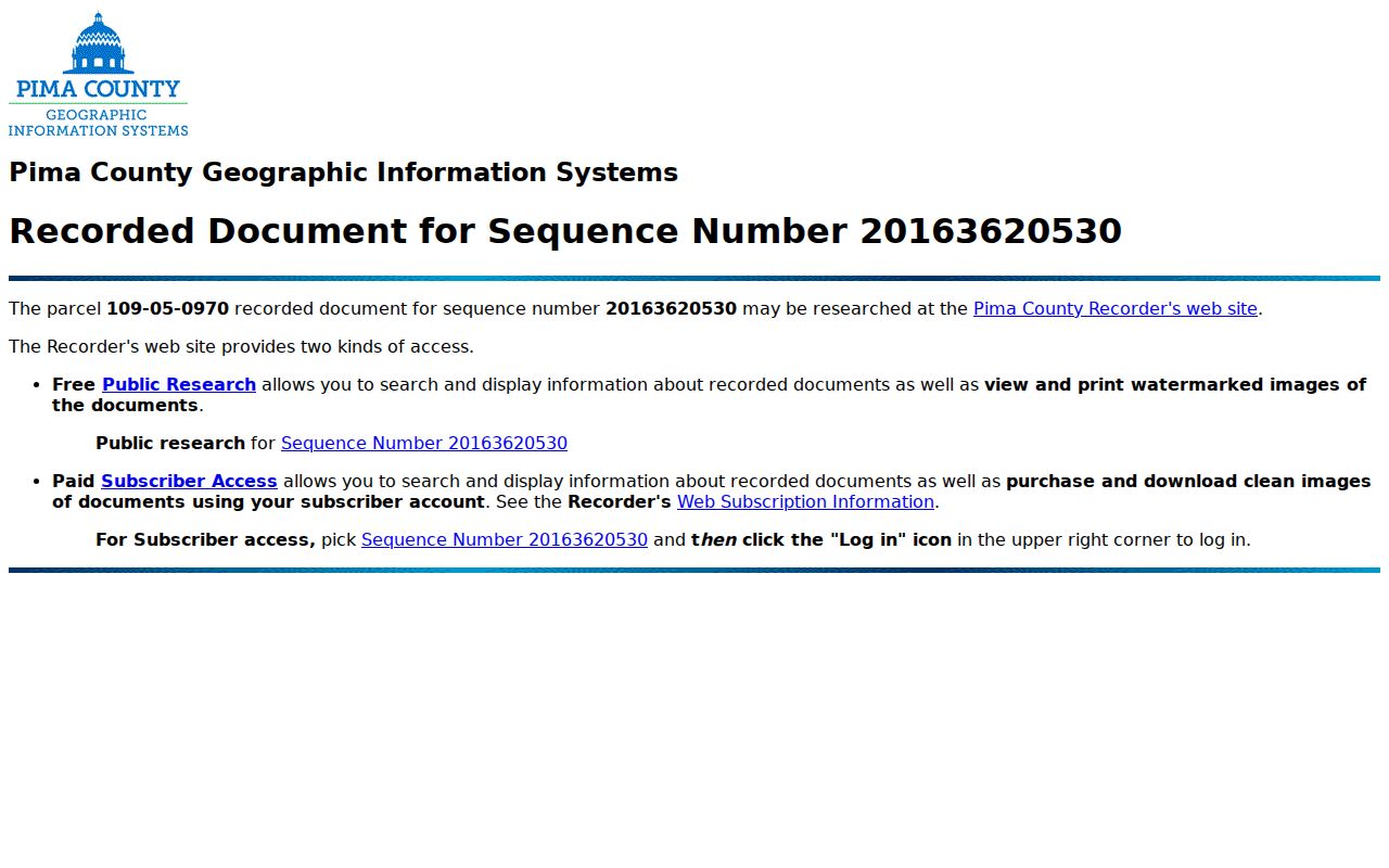
The result illustrates why a sequence number, party role, recording date, and legal description should be copied before moving to another owner.
Free online images are unofficial, low-resolution, and watermarked. Clean official images are paid. Older county material reaches toward 1865, but pre-June 1982 indexing remains incomplete, so public computers at the Recorder offices are the fallback. This online-versus-counter split is a key Tucson comparison, not proof that the older record vanished. A 2021 Recorder project put all indexed document images online as watermarked views, widening remote access while leaving the older indexing task in progress.
Add Tucson Permits by Street
Property Research Online, known as PRO, adds City of Tucson permit and code history to the address trail. An address result may show jurisdiction, activity or permit number, status, application and completion dates, category, description, and downloadable documents. Code complainant names are withheld. A blank online result does not prove that no work took place.
When an older building file is missing, the city’s historic records request instructions call for checking PRO first, then using a Tucson Development Center Online account and the Request Historic Records option. The separate City Clerk records form routes other municipal files.
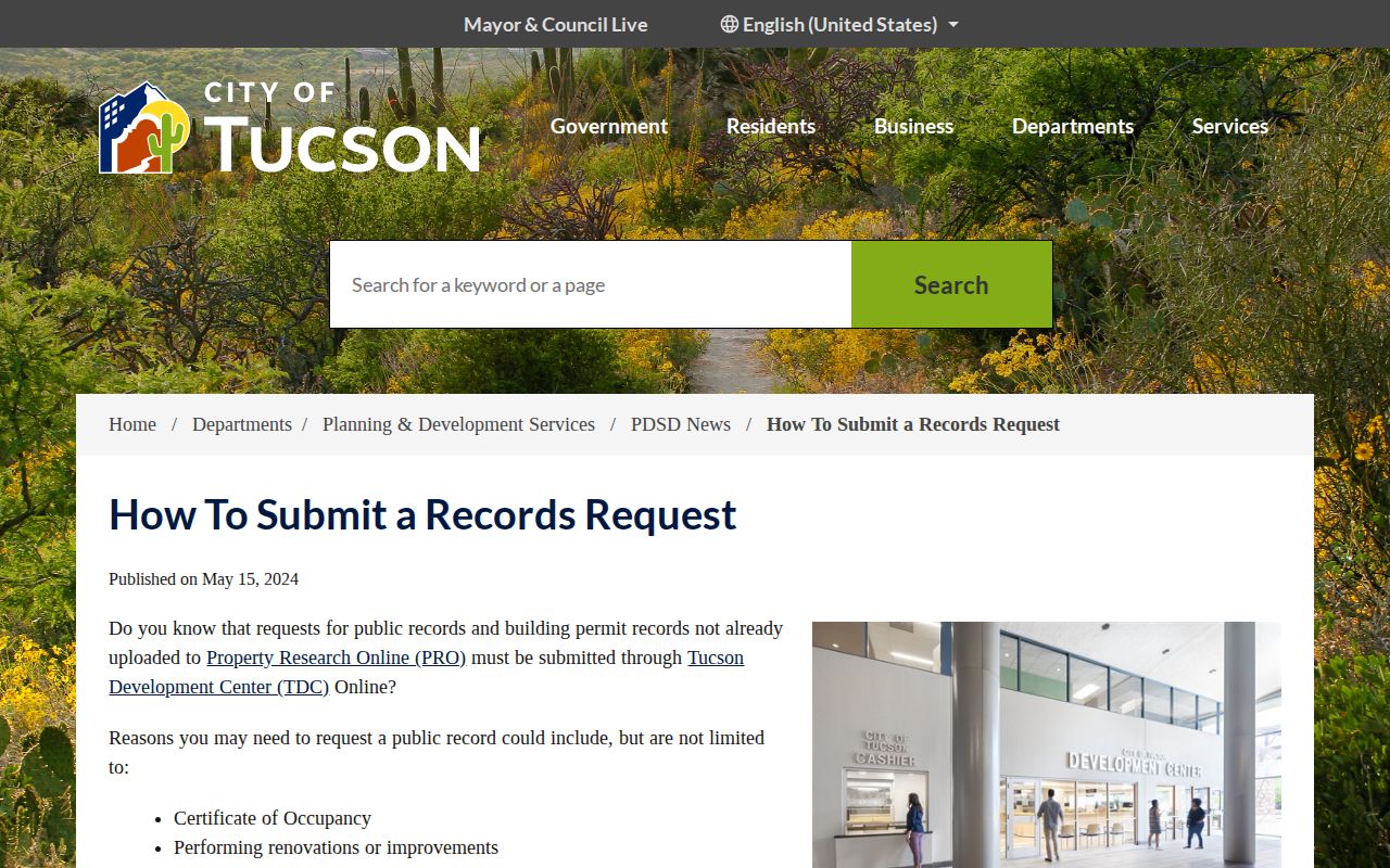
The city workflow asks for each individual address, not merely a parcel number, and uses DOCS, PLANS, or BOTH/ALL to define the request. Planning and Development Services reports a typical completion time within four weeks and holds building-permit records only.
Read Tucson Streets in Reverse
Printed reverse directories can turn a historic street address into a published occupant. The Joel D. Valdez Main Library keeps Tucson directories at the third-floor reference desk, and its Infoline at 520-791-4010 performs up to three criss-cross address or telephone lookups. Reference Solutions also accepts partial addresses for library card users.
Publication gaps deserve care. Some years were never published, and publishers rented certain criss-cross volumes and later reclaimed them. A missing listing does not prove departure. For a fuller account of the volumes and publishers, use the Tucson city directory collections after the address search identifies a likely year.
This is where the address trail shifts from land to people. Treat each entry as a dated publisher snapshot, then test it against a deed, census, newspaper, or permit source.
Bridge Old Tucson Street Numbers
No authoritative citywide Tucson renumbering index or year was found in the official research. An old number should therefore be bridged one address at a time. Compare block shape, alleys, cross streets, the lot and building footprint on Sanborn sheets, then carry the likely historic number into a directory search.
Tucson Sanborn coverage is documented for 1883, 1886, 1901 corrected in 1904, 1905 corrected in 1914, 1919, and 1948. The 1901 Library of Congress volume contains 22 sheets. Plats and legal descriptions can hold continuity when a street label fails.
Directional prefixes matter, too. Tucson’s grid centers on the downtown Broadway and Stone framework, while Avenue, Road, Street, Boulevard, and Spanish street names must match the custodian’s form closely.
Check Tucson Street Jurisdiction
A Tucson mailing address does not prove that a parcel lies within City of Tucson limits. Catalina Foothills, Tanque Verde, Casas Adobes, and other unincorporated Pima County places commonly use Tucson as the postal city. South Tucson is a separate incorporated city within the same metropolitan postal landscape.
Check jurisdiction in PimaMaps or PRO before sending a request. County parcel and deed sources still cover the wider Pima footprint, but Tucson permit records apply only where the city is the keeper. Annexation may change government jurisdiction without changing the postal city or ZIP.
This is one of the street directory’s most important geographic checks. It determines which office can answer an address-based request and prevents a city portal’s blank result from being mistaken for no record.
Pima GIS also keeps official address points, building-unit identifiers, parcel addresses, and 100-block ranges as distinct layers. The county or city assigns a site address for permits and emergency response, while USPS assigns delivery codes. Those systems can overlap without answering the same question.
Limits of Tucson Street Records
Assessor records identify title holders, not every person inside a Tucson address. A different mailing address can reflect many arrangements, and a matching mailing address is still not proof of occupancy. GIS maps land. Deeds transfer interests. Permit files document work. Reverse directories reflect one publisher’s snapshot. Utility customer data and motor vehicle addresses are not open resident directories.
The Arizona voter portal is an authenticated self-lookup, not a street browser. Pima bulk voter data is restricted to purposes authorized by A.R.S. §16-168(E), and protected addresses receive added safeguards. Casual attempts to list everyone registered on a block are not an authorized use.
Arizona’s public inspection rule opens records in an officer’s custody during office hours, subject to lawful restrictions. The records acknowledgement rule explains the required custodian contact when a request is needed and no receipt-generating central portal exists.
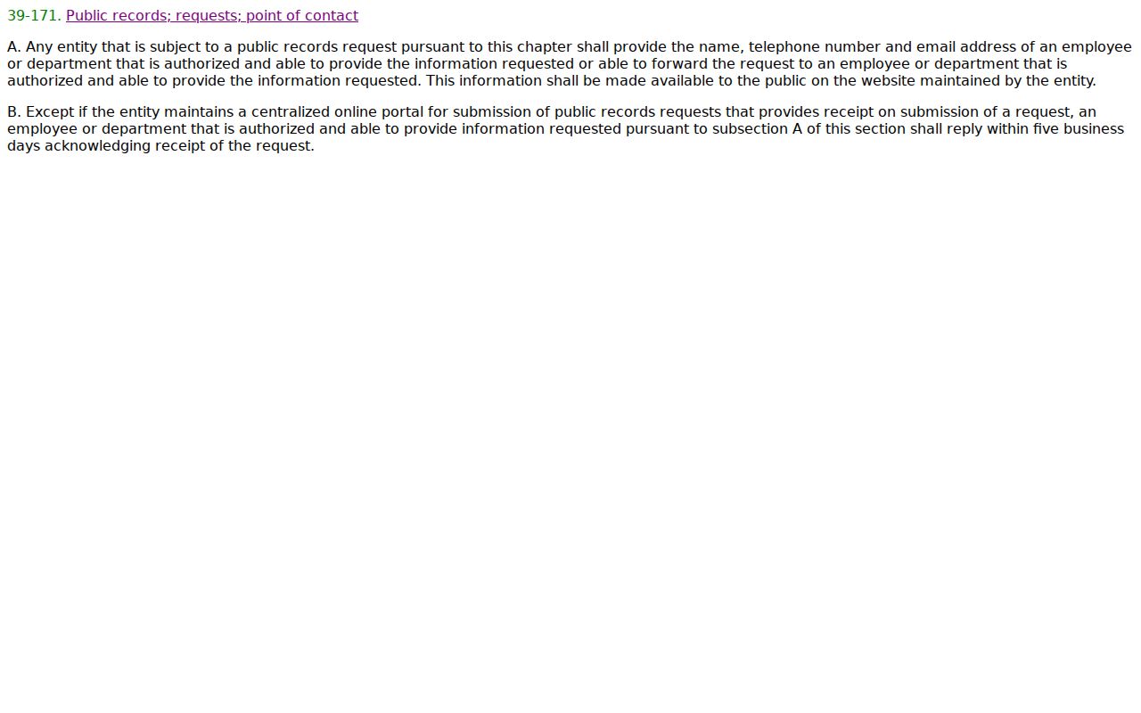
The statute screenshot marks a formal fallback channel, but it does not expand access to confidential or purpose-restricted information.
Lawful use. Use Tucson address records for lawful personal research, property history, and civic understanding. Never use them to stalk, harass, intimidate, or harm anyone.