
Tucson ZIP Coverage at a Glance
Tucson postal geography spreads well past the incorporated city. The core delivery zones below show the main patterns found on the official city map and in Pima County GIS metadata. Areas are grouped by the places they commonly serve, not by a claim that every parcel in a row shares one government. Exact edges are irregular. Pima County also warns that its polygons are estimates built from parcel-address data, while the Postal Service manages delivery routes.
| ZIP | Areas Commonly Covered | Post Office Context | Local Note |
|---|---|---|---|
| 85701 | Downtown, El Presidio, Armory Park and Barrio Viejo edges | Downtown and central delivery | Tucson city core |
| 85705 | North-central Tucson, Flowing Wells and Miracle Mile | North-side delivery | City and nearby county parcels |
| 85706 | South Tucson metro and airport-side neighborhoods | South-side station | City and county mix |
| 85710, 85711, 85712 | East, central-east and northeast Tucson | Midtown and east-side stations | Wilmot-area edges need an address check |
| 85713, 85714 | South-central Tucson, A Mountain and industrial areas | South-central and south-side delivery | 85713 includes separate South Tucson |
| 85715, 85748, 85749 | East, far east and Tanque Verde | East and rural routes | Many postal Tucson addresses lie beyond city limits |
| 85716, 85719 | Midtown, Sam Hughes, Blenman-Elm, West University and campus area | Central and university delivery | Campus has added unique codes |
| 85718, 85750 | Catalina Foothills and Sabino Canyon area | Foothills and east delivery | Largely unincorporated Pima County |
| 85730, 85734, 85746, 85756, 85757 | Southeast, south, southwest and airport perimeter | South and rural routes | Annexed pockets meet county land |
| 85735, 85741, 85742, 85743 | Avra Valley, Casas Adobes, Cortaro, Picture Rocks and Marana edges | Northwest, west and rural delivery | Broad Tucson mailing footprint |
| 85745, 85747 | West Tucson, Menlo Park, Rita Ranch and far southeast | West and southeast stations | City edges and annexation patterns matter |
The official Tucson ward and ZIP map also depicts nearby codes such as 85619 and 85704 because the Tucson area is larger than the municipality. Oro Valley codes 85737 and 85755, as well as Catalina-area 85739, belong in metro research but not in a list of Tucson city districts. A postal match is thus a first filter. The parcel jurisdiction field supplies the stronger local test.
Tucson ZIP Types Need Context
Not every five-digit code describes a neighborhood. Tucson has ordinary delivery zones, institutional assignments, military mail, and box-only designations. Mixing them can create false resident counts or attach a neighborhood label to mail that has no residential polygon. The distinctions are simple once each term is kept tied to its postal role.
- ZIP
- A five-digit Postal Service routing area. It supports mail delivery and is not a legal city boundary.
- ZIP+4
- The basic code plus four digits that narrow delivery to a segment, building, organization, or group of boxes.
- PO-box ZIP
- A designation used for post-office boxes rather than a normal land area with homes.
- Unique ZIP
- A code assigned to a high-volume institution or special mail user, not to a typical neighborhood.
- Carrier route
- The path or set of stops used for delivery within a postal area.
For Tucson research, 85726, 85731, 85732, 85740, 85744, 85751 and 85752 are box-only examples. Codes 85754 and 85775 also require direct postal verification. These entries belong in a full postal-area reference, but they should never be treated as blocks of resident parcels.
Tucson ZIP Map Evidence
The Pima County ZIP layer metadata is the key technical source for Tucson postal boundaries. It states that the polygons are approximate, derive from parcel addresses, and omit codes that do not form geographic areas. The layer was refreshed in 2026. That makes it useful for broad filtering, not for deciding the delivery code of one home.
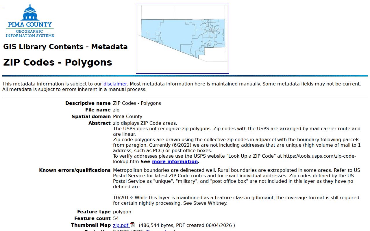
The county description explains why unique, military, and box-only designations may vanish from the polygon display even though they remain valid for mail.
PimaMaps provides the working path from that broad layer to individual parcels. Its search accepts an owner, address, intersection, or parcel, with punctuation omitted when possible. Researchers can show layers, click a polygon with Identify, measure an area, save a query, and export results to XLSX. Parcel geometry remains illustrative rather than a boundary survey.
| GIS Control | Use in Postal Research | Format Note |
|---|---|---|
| Search | Locate an address, parcel, owner or intersection | Autocomplete text; avoid punctuation |
| Layers / Legend | Turn on ZIP, parcel, district and jurisdiction context | Checkbox tree |
| Identify | Open a parcel popup and its More Information links | Click a mapped feature |
| Query | Collect matching mapped records | Results may be saved and exported |
| Export | Carry a result set into a review list | XLSX for queries; map image, GeoTIFF or PDF |
Search Tucson Residents by ZIP
A ZIP-wide resident search works best as a narrowing process. The Assessor's simple front box searches parcel, address, or owner rather than a postal zone. Pima GIS supplies the geographic query. Once candidate addresses are found, the Assessor confirms the current title owner, mailing destination, situs address, legal description, value, and building facts. An owner is not proof of an occupant, and a mailing address is not always the site address.
- Choose a normal residential delivery zone from the Tucson postal-area list. Set aside unique, military, and box-only entries.
- Open the ZIP layer in PimaMaps or county open data. Query the polygon and export the parcel or address candidates.
- Check each candidate in the Pima County Assessor Parcel Search. Record parcel ID, situs, title owner, and jurisdiction as separate facts.
- Use the Recorder only when a title link is needed. Its public web index is fully indexed from June 1982 forward, while older work moves to office records.
- When the task narrows to one road, use the Tucson streets lookup for the address-level chain.
The Arizona Voter Information Portal is not an open surname or block browser. It authenticates a voter who checks their own status, districts, notices, ballot-by-mail status, and participation history. Pima County bulk voter data has narrow purposes under state law, so it is not a casual substitute for a parcel-based postal search.
Tucson ZIPs Cross City Lines
Catalina Foothills, Tanque Verde, Casas Adobes, and other unincorporated places often carry Tucson as the mailing city. South Tucson is a separate incorporated city within the same urban landscape, and 85713 reaches both South Tucson and Tucson postal addresses. Far southeast annexations add another kind of mismatch: city authority can change while the postal city and route stay the same.
Boundary check. A Tucson mailing label does not establish municipal jurisdiction; confirm the parcel in PimaMaps or the City of Tucson property system.
This distinction directs a records request. City of Tucson permit and code material runs through Property Research Online and its historic-record fallback. A county parcel outside the city may use other Pima County channels. School, flood, wastewater, fire, voting, and service districts also cross or diverge from postal routes. Record each layer on its own rather than treating the five-digit label as an all-purpose district.
Special Tucson ZIP Assignments
The University of Arizona and Davis-Monthan Air Force Base create a local trap for broad counts. The university is served by ordinary surrounding delivery geography, while 85721 and 85724 are unique institutional assignments. Pima Community College uses 85709 for institutional mail. Davis-Monthan codes 85707 and 85708 reflect military or installation mail rather than normal residential polygons.
These codes can still help identify the proper institution, archive, or public contact. They cannot support a claim about a standard neighborhood population. Government and state mail historically associated with 85733 needs the same care. When an institutional code appears, shift from parcel assumptions to that institution's published archive or record channel. University Special Collections, for example, holds yearbooks, maps, photographs, manuscripts, oral histories, and Southwest collections, subject to collection-level restrictions.
Note: The county map omits special postal designations when no geographic polygon can be drawn, which is a sound data choice rather than a gap.
Tucson Box Codes Are Different
A box-only code points to mail service, not to the place where a named person lives. It may be useful when matching a public business filing, an old directory entry, or a mailing destination shown on a parcel card. It supplies no sound basis for placing that person on a nearby block. The same warning applies when a tax owner receives notices at a box while the parcel's situs lies elsewhere.
Tucson researchers should retain both fields when a record exposes them. The situs is the official site address attached to land or a building. The mailing destination is where the office sends notice. A legal description identifies land through a lot, block, subdivision, or metes-and-bounds description. None is interchangeable with a post-office box. This small distinction prevents one of the most common errors in postal-area research.
A Tucson ZIP Correction
Pima County metadata records a precise example of why postal maps should be checked again. On July 11, 2025, the address at 135 S. Wilmot Road was corrected from 85710 to 85711. The change does not mean that all nearby parcels moved at once. It shows that an official layer can be refined as parcel-address data is reviewed. The county then refreshed the layer on June 2, 2026.
For a Tucson ZIP code search, that correction favors address-level confirmation over assumptions based on a map edge. Save the date and source when a result matters to family, estate, or civic research. A later route correction can explain why two sound records show different codes for the same site.
The Arizona public-records commercial-use statute also helps define responsible access to official data.
The statute source reinforces that a large extract from an official database can carry duties beyond the simple act of viewing a public record.
Tucson Postal Research Channels
No single office owns every part of the postal-to-resident trail. Pima GIS supplies an estimated postal layer and mapped address points. The Assessor ties current parcels to title owners and mailing destinations. The Recorder supplies recorded instruments, with the strongest public web index from June 1982 to the present and older books or images available through office research. City of Tucson PRO adds permits and code cases when the parcel is in city jurisdiction.
The Pima County Public Library guide to Arizona public records routes users toward official court, vital, census, and local sources when a postal clue leads to a different record type.
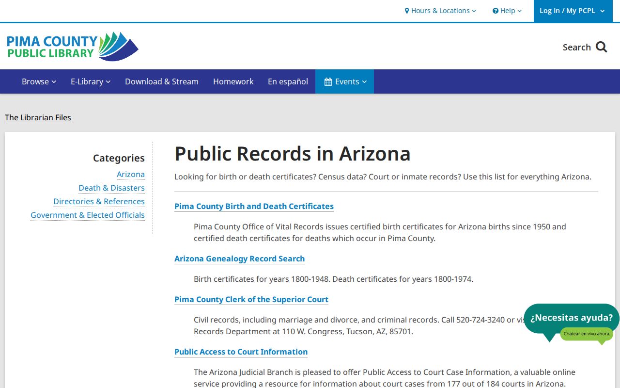
The library guide is a useful fallback because it separates open indexes from records that require eligibility, local clerk help, or archival access.
Online access is only one channel. The Recorder's older material may require the public terminals at a county office. Library and archive staff can route historic sources. When no portal holds a needed city record, Arizona Public Records Law allows a focused request to the custodian. Give a clear address, date range, and record type so the office can locate the right file.
Verify Tucson ZIP Findings
Finish with the smallest reliable unit. Confirm the delivery code through current postal data, then verify municipal jurisdiction and parcel identity in PimaMaps. Match the Assessor card by situs and parcel number. If title history matters, follow the legal description into the Recorder index rather than relying on a shared street number. This sequence keeps postal, civic, tax, and title facts from bleeding into one another.
A Tucson postal directory is most useful as an index to better evidence. It can define a search area and expose special local patterns. It cannot establish who occupies each home, whether a title owner receives mail there, or which agency holds every record. Those answers come from the linked official rolls, the correct custodian, and a careful check of dates.
Lawful use. Use Tucson resident records for legitimate personal research, and never use an address trail to stalk, harass, threaten, or harm anyone.